SEP 39: Metadata: Enhanced location
Currently the location metadata element is a simple string referencing the city I was in (or based in) when a document was written.
I was struck today by the thought that this information could be expanded/enhanced to include more depth/granularity. The two proposed enhancing elements would be coordinates and place. The first is fairly self explanatory, latitude and longitude of the location. The second, place, is a richer and more personal location property. It could be “In the cabin”, “At Paul’s house for dinner”, “In a Yaza cafe in Montgomery square”, it is the context for ‘where’ I am. In fact context might be a better name for this element.
Thus, I propose this richer location metadata as follows:
location:
    locale: Bristol, United Kingdom
    context: Coffee and chat at Boston Tea Party with Dale
    latitude: 51.480311
    longitude: -2.5885995
Privacy considerations
The intent of this richer metadata is primarily personal, but portions of it will be distributed widely and thus must be made ‘safe’ in terms of sensitive location information. Generally speaking it takes accuracy of four decimal places (eg. 51.4803) to specifically identify a building, three decimal places (eg. 51.480) is sufficient to identify a street, two places (51.48) gets you a post/zip code, and one reduces you to the resolution of ‘nearest city’.
Coordinates in document frontmatter should be specified at the highest accuracy available to facilitate rich use and re-use of this data into the future, but in all cases of a document being shared publicly (such as on this website) those coordinates should be truncated to two decimal placed
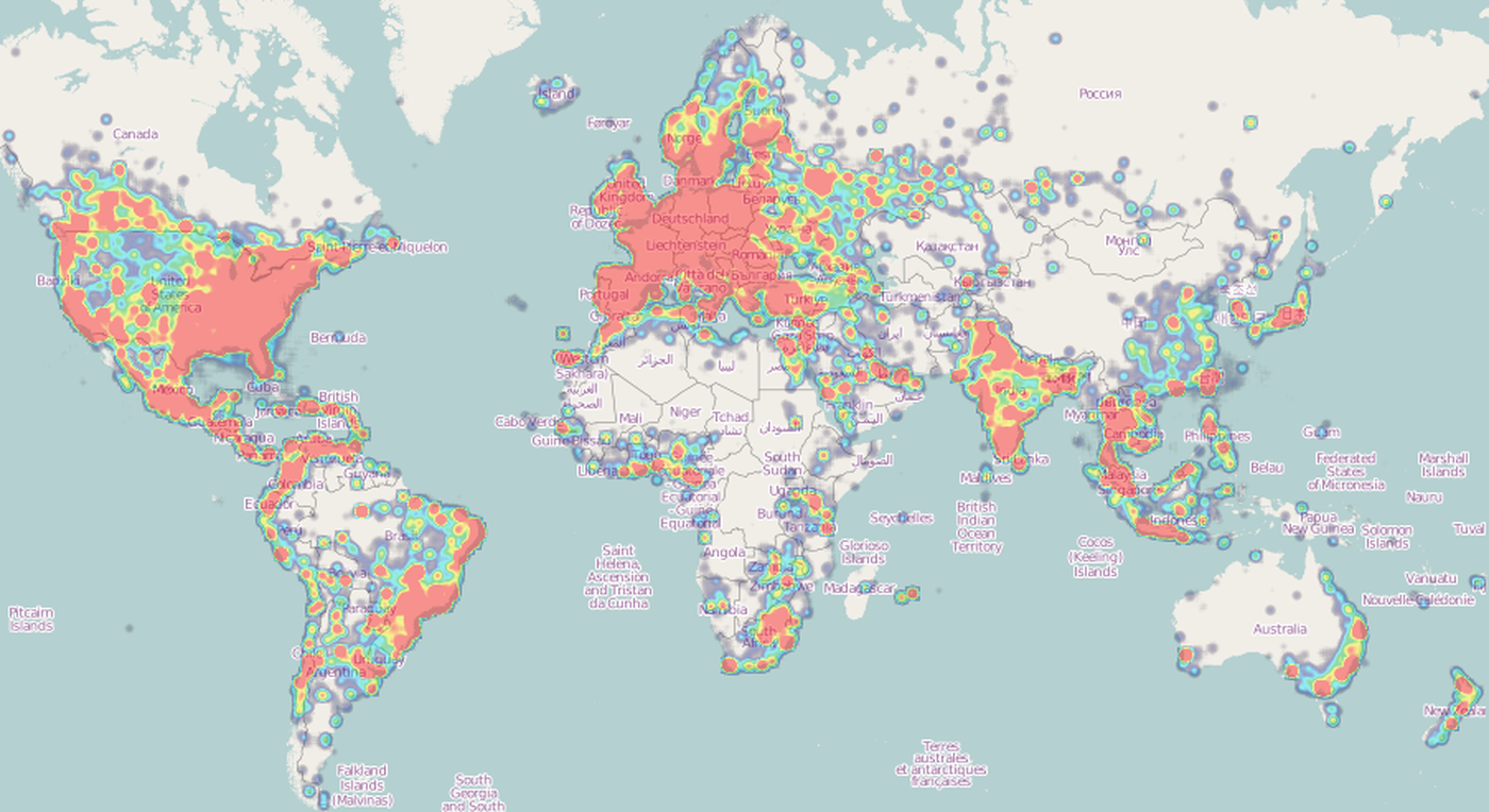
Long-term I envision this data facilitating a geographic heat map of all my writing, visualizing both the centres/hubs from which I write most but also the paths I have taken through the world as represented by the documents/fragments that emerge from those journeys (see Fig 1 for a borrowed example).
My limited understanding of Spatial reference systems leads me to believe that using a Geographic coordinate system (ie. Lat/Long) is best fit here — as opposed to a Projected (planar) coordinate system (ie. Easting/Westing). If any GIS experts should happen across this proposal and feel differently then please do reach out.